
Flower Mound ZIP Code Coverage
Six ZIP codes are documented as serving, meeting, or touching Flower Mound geography: 75022, 75027, 75028, 75077, 76226, and 76262. The official Town trail-plan map identifies five of them in or against the Town area, while USPS labeling material adds 75027 as a Flower Mound service ZIP and post-office-box destination. The table records the documented relationship, not a claim that every address with one of these labels lies inside Town limits. USPS delivery labels, county parcels, and municipal boundaries serve different functions.
| ZIP | Areas covered | Post Office | Notes |
|---|---|---|---|
| 75022 | Central and southern Flower Mound, including Lakeside-area addresses. | Flower Mound postal city/service. | USPS FAST lists Flower Mound service; confirm parcel situs and city limits. |
| 75027 | Flower Mound postal and post-office-box use. | Flower Mound postal service or PO-box designation. | A post-office box is not a physical residence; station detail was not located. |
| 75028 | Central, eastern, and northern Flower Mound, including many Town addresses. | Flower Mound postal city. | A 2022 USPS notice documents some realignment from 75027 to 75028. |
| 75077 | Flower Mound and Lewisville-area northern edge shown on the Town map. | Lewisville postal city commonly associated with the ZIP. | Map overlap does not establish Flower Mound jurisdiction. |
| 76226 | Argyle, Northlake, and Canyon Falls edge. | Argyle and nearby postal geography. | Canyon Falls crosses municipal lines; test the specific parcel. |
| 76262 | Western and southwestern edge near Roanoke, Trophy Club, and Grapevine Lake. | Roanoke-area postal geography. | Verify both parcel and county; not every address is Flower Mound. |
Exact USPS boundary polygons, post-office station addresses, and every fringe ZIP were not located in the official source sweep. Those are live-verification questions, not gaps to fill with a generalized ZIP map. Note: Preserve the ZIP exactly as printed in an old source before replacing it with a current delivery label.
Flower Mound Service ZIP Labels
USPS FAST data effective August 1, 2025 lists 75022 and 75027 through 75028 with Flower Mound labeling. Those three codes form the core postal-service set, but the labels still do not create a municipal boundary. ZIP 75022 is documented for central and southern Flower Mound and Lakeside-area addresses. ZIP 75028 covers central, eastern, and northern Flower Mound and is used by Town addresses. ZIP 75027 has documented Flower Mound service and post-office-box use, which requires an especially careful distinction between delivery information and a parcel location.
When a historical directory, deed notice, or newspaper uses 75027, do not discard it because a current lookup prefers 75028. The printed label may reflect an earlier valid delivery convention. Record the date of the source, then standardize the address through USPS and compare the city-limit and parcel records. This retains a reproducible trail instead of making an older address appear inconsistent merely because the preferred postal label changed.
Flower Mound Edge ZIP Codes
The ZIPs at Flower Mound’s edges carry the strongest jurisdiction warning. The Town map places 75077 on a Lewisville and Flower Mound-area northern edge, while 76226 reaches the Argyle, Northlake, and Canyon Falls side of the geography. ZIP 76262 appears toward the west and southwest near Roanoke, Trophy Club, and Grapevine Lake. These labels help orient a search, but they cannot say which city governs the address or which county office holds the parcel record.
For an edge address, compare the Town’s city-limit layer, Denton County GIS, DCAD’s situs and legal description, and the recorded instrument. Flower Mound is primarily in Denton County, but local material describes a small southern or western edge area as adjoining Tarrant County. Confirm the county line before requesting a deed, tax, or court record. A postal city can be a useful mail label while the legal parcel points elsewhere.
Flower Mound ZIP Code Changes
ZIP-label realignment is a useful historical clue in Flower Mound. Older 2014 and 2022 USPS notices document label changes involving 75027 and 75028, and the current FAST list reflects the 2025 labeling cycle. The research does not identify a new resident-record system or a new municipal boundary from those notices. It identifies an address-normalization issue: an older document can carry a valid label that differs from a current USPS result for the same delivery geography.
Keep three address versions in a record note: the wording printed in the dated source, the current USPS-standardized mailing address and ZIP+4 when available, and the present Town or county situs with legal description. This three-part note is especially helpful when a rural route became a subdivision street or when an address is close to a multi-town development. It also avoids treating a ZIP change as proof that a person moved.
Flower Mound USPS ZIP Checks
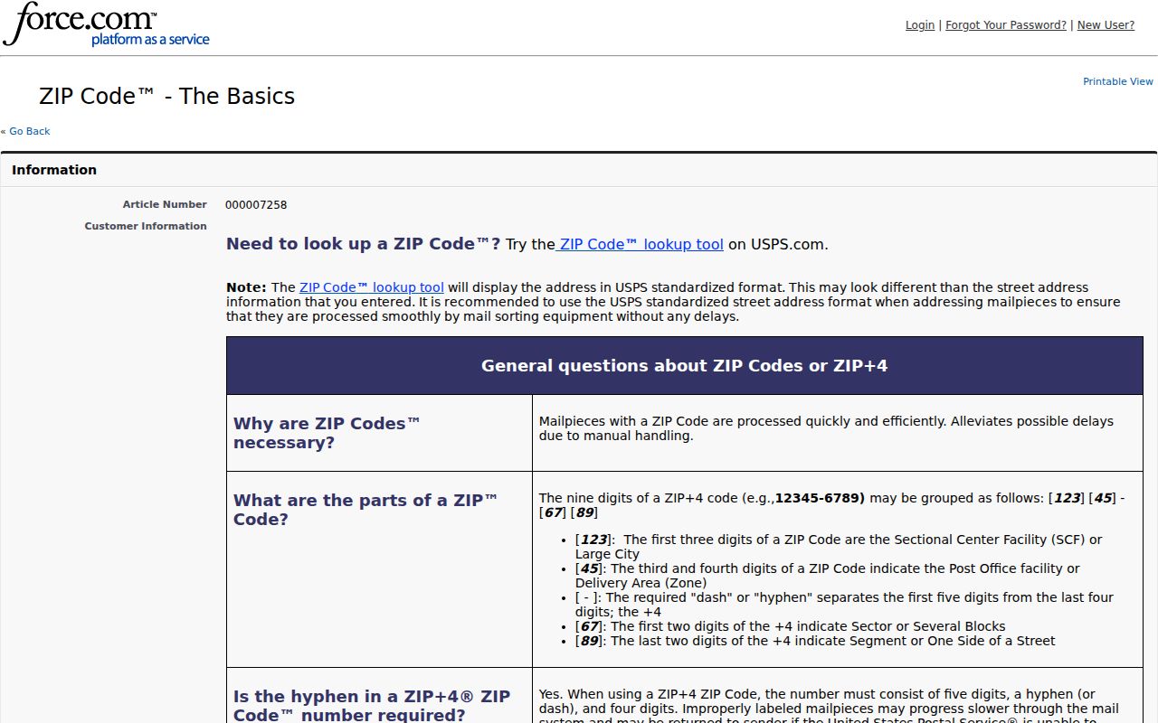
USPS is the final authority for a current delivery label. Its ZIP Code Basics guidance describes ZIP and ZIP+4 lookup and standardized delivery addressing. Use it before searching an address in DCAD, eTRAKiT, a tax account, or an older directory. A standardized mailing form helps rule out a simple suffix, direction, or ZIP-label mismatch. It does not decide municipal limits, parcel ownership, or who is currently at an address.
The USPS ZIP Code Basics page describes delivery-address and ZIP+4 verification.
Use the USPS result as a delivery check, then move to the Town map and county parcel records for jurisdiction. A mailing address can be valid even when the Town’s map or the recorded legal description places the parcel beyond a Flower Mound city line.
| Address task | Official route | What the route can confirm | What it cannot confirm |
|---|---|---|---|
| Current mailing format and ZIP+4 | USPS ZIP and standardized-address guidance. | Delivery label and standardized formatting. | City limit, county, parcel, or a public roster. |
| Municipal geography | Town GIS and planning maps. | Approximate city-limit, zoning, school, park, and trail context. | Survey-grade boundary or delivery assignment. |
| Parcel and legal location | DCAD, Denton County GIS, and County Clerk records. | Situs, parcel identity, legal description, and recorded document trail. | USPS delivery preference or full household list. |
Finding a Flower Mound Record by ZIP
A ZIP can narrow a specific search, but none of the documented public portals offers a ZIP-wide Flower Mound roster. The Texas voter lookup uses ZIP as one matching field for an individual. DCAD’s exact current controls were not exposed in the research, and the Tax portal supports owner address or property location rather than a ZIP-only result mode. eTRAKiT is oriented to parcel, house number, or street name. Work from one known address, name, or parcel identifier instead of expecting a postal label to enumerate households.
- Use USPS to standardize the known street address and preserve the prior ZIP if a dated document used another label.
- Open the Town GIS map to test the municipal line, then use Denton County GIS for parcel, precinct, district, and county context.
- Search DCAD or eTRAKiT by the normalized address, house number, street name, or property ID, and copy the situs and legal description.
- Use the Texas My Voter Portal only as an individual matching route where lawful and appropriate, never as a ZIP-wide export.
- Compare the recorded legal description and County Clerk document trail when a street, city label, or ZIP no longer matches the older source.
Once the address has been narrowed, the Flower Mound street directory gives the parcel-to-deed sequence and address-keyed access channels. Note: A public lookup screen and a public bulk list are separate access questions with different rules and request procedures.
Flower Mound ZIP Portal Limits
The documented portal findings set a firm limit on ZIP searching. No official ZIP-wide resident count, registration count, unique institutional ZIP, or station-by-station table was located. The County Tax interface exposes Search By, search text, account type, active status, paid status, and owner or property-location routes. DCAD supports owner, address, and property-ID searching according to official guidance. The voter tool uses ZIP to narrow an individual match. None of those findings supports a claim of a public address-to-person browse for everyone in a ZIP.
| Portal or record | Documented ZIP role | Search details found | Stated limit |
|---|---|---|---|
| USPS lookup | Delivery-address standardization and ZIP+4 check. | ZIP and ZIP+4 guidance; standardized address role. | Not a parcel, city-limit, or person lookup. |
| Texas My Voter Portal | ZIP narrows an individual match. | Name, county, date of birth, and ZIP workflow. | Not a public ZIP or street roster; protected records may differ. |
| DCAD | No ZIP-only mode documented. | Owner, address, or property-ID routes. | Exact live controls were not exposed in the research. |
| Denton County Tax | No ZIP-only mode documented. | Owner mailing address or property location among search choices. | Does not publish a ZIP-wide person browse. |
| Flower Mound eTRAKiT | No ZIP-only mode documented. | Parcel number, house number, or street name with operators. | Parcel and permit oriented, not a ZIP roster. |
The practical fallback is sequence, not an unverified export: USPS, Town mapping, county GIS, DCAD or eTRAKiT, then the County Clerk if the legal document is needed. For voter-file, historical-poll-book, or precinct-statistic questions, contact the Denton County Elections Administrator and ask which lawful request channel, fee, format, and confidentiality rules apply.
Flower Mound Canyon Falls Boundaries
Canyon Falls shows why ZIP and city-label checks are not interchangeable. The development is documented as a 1,242-acre master-planned community spanning Flower Mound, Northlake, and Argyle. A record can therefore carry a nearby postal or subdivision label while the relevant government record sits with a different municipal jurisdiction. Start with the individual parcel, then compare city limits, legal description, and county context. The development name alone does not identify the records custodian.
The Flower Mound Maps and GIS hub leads to the Town’s mapping and development resources.
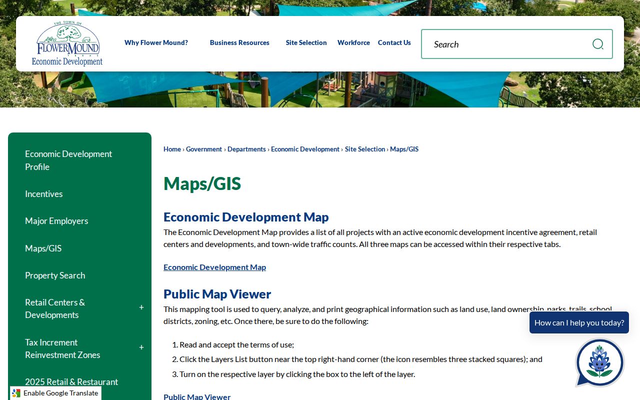
Town GIS maps can show public land, ownership, zoning, school, park, and trail context, and downloadable data are available in several formats. The Town warns that map information is approximate and not a survey. For a borderline parcel, use the recorded plat or County Clerk record before drawing a legal boundary conclusion.
Flower Mound ZIP Codes and City Limits
ZIP code boundaries and Flower Mound city limits answer different questions. USPS assigns a delivery city and route. Town Planning, GIS, and development records describe municipal geography. County GIS and the County Clerk connect parcel geometry and legal description. DCAD distinguishes the mailing and situs address; the Tax portal distinguishes owner mailing address from property location. A mailing label that says Flower Mound can belong to a parcel in another jurisdiction, while a Town address can carry a neighboring postal city label.
Use a ZIP as a way to standardize and narrow an address, not as proof of a municipal, ownership, or household conclusion. The Town trail-plan map is orientation only. City and county GIS provide the jurisdiction check, while the recorded legal description gives the parcel anchor. Note: A ZIP boundary is a postal service area, not a legal line around Flower Mound.
- ZIP vs ZIP+4
- A five-digit ZIP identifies a broad delivery area. ZIP+4 adds a narrower delivery segment for a standardized address.
- PO-box ZIP
- A postal designation for post-office-box service. It does not identify a physical situs address.
- Unique ZIP
- A ZIP used for a single institution or organization. No Flower Mound example was documented in the research.
- Carrier route
- A delivery sequence or route used by the Postal Service. It is not a city-limit, parcel, or household boundary.
Flower Mound Addresses Need Three Keys
Save the mailing address, situs address, and legal description as separate keys. The mailing address follows correspondence and USPS formatting. The situs identifies the physical taxable location in DCAD and related tax records. The legal description ties the property to lot, block, subdivision, tract, acreage, or recorded parcel language. GIS supplies the visual relation among those keys, but it is approximate. A name or ZIP can change; the legal description is often what lets a researcher test whether two records concern the same land.
For historic Flower Mound research, record the source date and exact printed city and ZIP before normalizing it. A family may appear under a rural route, a regional phone-book label, a different postal city, or an earlier subdivision phase. Compare dated records with the current parcel and county document trail rather than forcing every source into the modern mailing label. That approach keeps postal geography useful without overstating what a ZIP code can prove.
Address check. Use official sources in order: USPS for delivery formatting, Town and county GIS for jurisdiction, and DCAD or the County Clerk for the parcel and legal record.