
Flower Mound Neighbors by Parcel
Flower Mound neighbors are best understood as nearby public parcels rather than a published household list. Start on the map, identify which polygons actually touch or face the subject parcel, and then open the connected record. Town and county mapping layers give geography. DCAD, tax, deed, and permit records answer different property questions. The Town's HOA directory adds a community contact route. None of those sources produces a complete resident roster, and each should be described by what it can actually show.
| Source | What It Shows About a Block | Access |
|---|---|---|
| Town GIS | Adjacent parcels, city limits, zoning, land use, school districts, parks, and trails | Public viewer; boundaries are approximate and not a survey |
| Denton County GIS | Parcel or R number, precincts, floodplain, roads, emergency districts, and boundaries | Public map with current viewer limitations |
| DCAD parcel | Owner or filing name, mailing and situs fields, lot, and legal description | Public search; it does not establish occupancy |
| Deed or plat | Ownership transfers and subdivision geometry | County index and historic microfilm; legal description helps |
| Voter record | A lawful registration check and precinct context | Protected-address and request rules apply; not a street export |
| eTRAKiT or code record | Address-keyed permit, inspection, or case information | Public active search or custodian request; historic depth is not stated |
| HOA directory | Community name and published manager or board contact route | Town directory; no member roster |
An owner field can help identify a property connection, but an owner may have a different mailing address. A parcel boundary can also represent a common area, drainage tract, or road. Treat both as map and record evidence, not as a statement about who lives nearby.
Flower Mound Parcels and R Numbers
The R number, also called a property ID in some records, is the cleanest handoff between Flower Mound map work and Denton County records. It is more stable than a ZIP label or a street name that may be formatted differently in older sources. The county's method is to activate parcel and address layers, click the parcel, and capture the R number. Preserve the full situs, subdivision or phase, lot and block, plus the legal description with it.
- Find the subject address in the Town GIS or the Denton County GIS, then zoom until parcel lines can be read.
- Click the subject parcel and note its R number or property ID, displayed address, and legal description.
- Click each side, rear, and across-street parcel separately. Label the relationship in notes instead of treating the whole subdivision as one block.
- Search the official property record with that ID or address, then compare the lot, block, and legal description before joining an owner name to the map.
- Use the deed or plat index when a legal boundary, transfer, or subdivision phase needs confirmation.
The publicly documented process is map browsing and clicking. No official buffer, radius, automated-export, or prebuilt Flower Mound neighbors table was confirmed. For a whole named street rather than the immediate block, use the Flower Mound street directory record chain.
Note: Map scale matters because a visible adjacent polygon can be a common area rather than a privately held parcel.
Flower Mound GIS Layer Checks
The Town viewer is designed for land ownership, zoning, school districts, parks, trails, and public map downloads. Denton County GIS broadens the geographic picture with precincts, political and municipal boundaries, floodplain, freshwater districts, transportation, oil and gas wells, and emergency service districts. Turn on only the layer that answers the block question. City limits can resolve jurisdiction. A precinct can explain election administration. Zoning describes land use. None of these layers identifies a person or membership in a household.
Both the layer type and the date matter. DCAD says GIS geometry and downloads update weekly while owner data can lag during the annual notice and appraisal-review period. The Town warns that its source data can be approximate and is not suitable for legal, engineering, or surveying decisions. When a parcel edge affects a record request, compare the recorded plat or legal description with the map rather than relying on a cursor position.
Flower Mound HOA Contact Routes
The Town's Homeowner Associations directory is a community orientation tool. It identifies dozens of associations and publishes the manager or board contact route available to the Town. It does not publish association members, dues records, or household lists. Some entries explicitly say no contact information is on file. Use the listed route to ask about public association business or a public meeting, not to request a private roster.
| Community named by the Town | Public contact scope | Directory use |
|---|---|---|
| Adams Estates | Community listing and any manager or board route published by the Town | Confirm the listed public route on the Town directory |
| Canyon Falls | Community listing and published contact scope only | Check parcel jurisdiction before treating it as Flower Mound-only |
| Lake Forest/Briar's Cove | Community listing and published contact scope only | Use for association orientation, not resident identification |
| River Walk at Central Park Villas | Community listing and published contact scope only | Check the live entry because some listings have no contact on file |
| Wellington | Community listing and published contact scope only | Use the Town's update process if a public directory contact changes |
The official Flower Mound homeowner-association directory is the source for those community and public-contact listings.
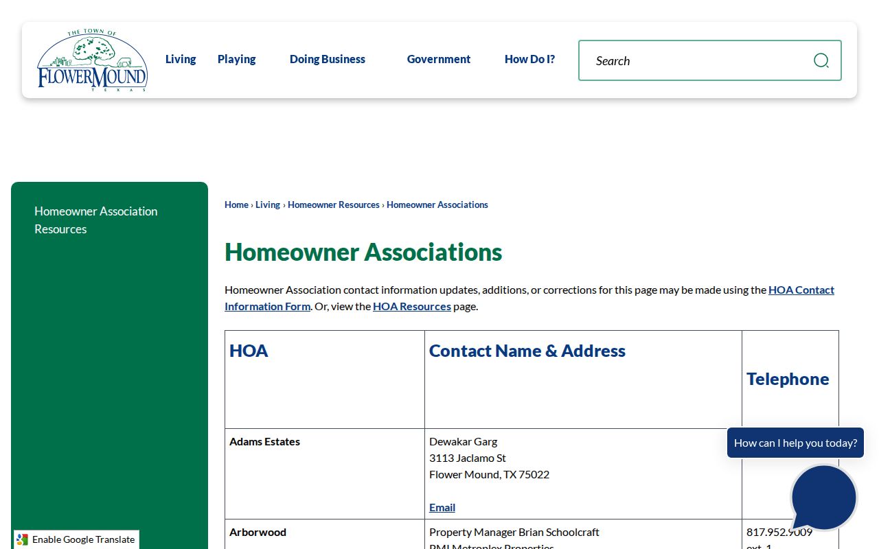
The image reflects the community layer available through the Town, while the underlying member lists remain private association material.
Flower Mound Voter Boundaries
Registered voters are not all Flower Mound neighbors. The Texas My Voter Portal and Vote Denton use a person's name, county, date of birth, and ZIP to check registration. A successful result can provide status, polling-place and district context, plus address information where the law permits. It does not authorize a street-wide web export, and Denton County is the record keeper for the county registration file.
Texas Election Code §18.005 makes core identifiers such as name, date of birth, VUID, and participation records public subject to confidentiality exceptions. It protects identifying fields such as Social Security number, driver's-license number, and DPS PID. Participation reports whether a voter took part in an election, not how that person voted. Protected voters may have a web-suppressed or substitute address, so no Flower Mound block should be reconstructed from a partial public result.
Flower Mound Permit Place Records
Building, code, environmental-health, and food-inspection records are address-keyed descriptions of a place. They can help identify a construction project, inspection, permit, or case status. They do not create a household directory. The Town's Building Information and Permits materials connect public permit research to eTRAKiT, where Parcel Number, House Number, and Street Name can be searched with documented operators. Results can include Parcel Info, Owner Info, Restrictions, Land Use, Building, Legal Description, and Inspections tabs.
The Flower Mound building and permits information identifies the Town's public route for place-based records.
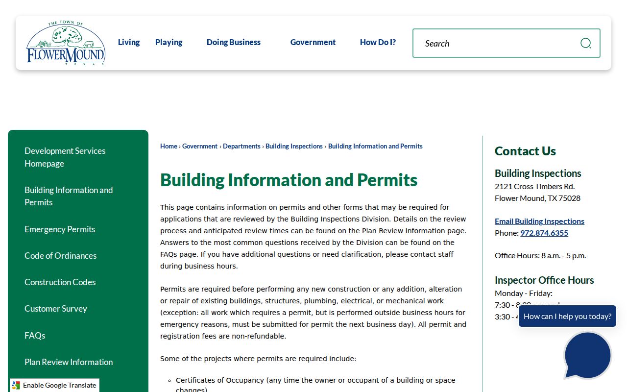
Permit fields can connect work to a parcel, but an applicant or contractor name does not establish residence at that address.
The Town's Code Enforcement page is the proper source for address-keyed violations and case information.
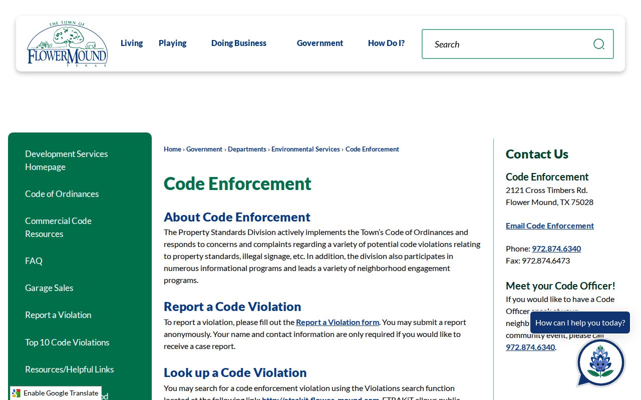
A code record describes a reported place and case status. Complainant and other person data may not be public.
Flower Mound Environmental Health Services provides the Town route for environmental-health information tied to establishments and locations.

Environmental forms can identify a business location or permit context, not who lives around it.
The Town's Food Inspections records also document place-based public information.
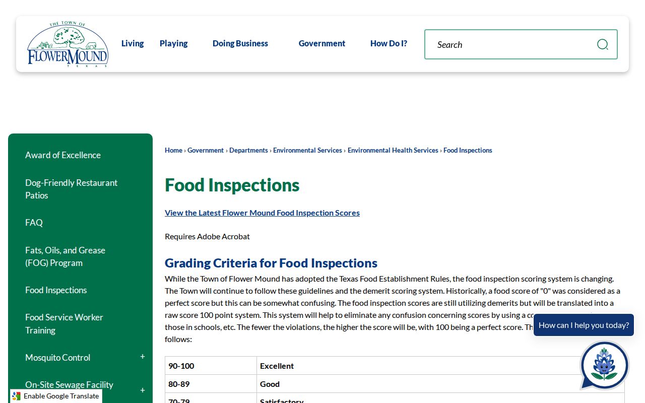
Food inspection material concerns an establishment and its compliance record, not a residential block list.
Flower Mound Neighbor Source Comparison
Official records and commercial neighbor-finding products are not interchangeable. Official sources identify the custodian, fields, and access limits, and a reader can return to the same office to verify a record. Commercial compilations may mix public filings with marketing and address-history data. They can be stale, overinclusive, and prone to joining people with the same name. A private or protected address should never be reconstructed from a blend of weaker results.
| Official parcel and civic sources | Commercial compiled tools |
|---|---|
| Show an identified record type, source date, and custodian route | May combine data with unclear collection dates or source boundaries |
| Separate owner, parcel, permit, voter, and HOA functions | May blur a property link into an unsupported household claim |
| Offer a custodian path for a copy, correction, or access question | Cannot replace the actual clerk, appraisal district, elections office, or Town record |
For a block question, use the map and parcel record first. Then verify only the specific public fact needed with the office that created it.
Flower Mound Canyon Falls Geography
Canyon Falls is a useful Flower Mound neighbors caution because the Town describes it as a 1,242-acre master-planned community spanning Flower Mound, Northlake, and Argyle. A neighborhood name alone can point to the wrong municipal office, postal label, or map layer. Begin with parcel geometry, city-limit layer, and legal description before choosing a records custodian. The same care applies along Flower Mound's other jurisdiction and ZIP edges.
This geographic detail also explains why an association name, school layer, or delivery label cannot prove a resident's current location. The parcel and dated official record remain the stronger anchors.
Flower Mound Neighbors Privacy
Several kinds of information around a Flower Mound block remain private: utility-account information, mail and delivery data, household members who are not named in a public record, protected-voter addresses, motor-vehicle information covered by the federal Driver's Privacy Protection Act, sealed court matters, minor information, and confidential local complaints. A zoning layer, street pickup day, or ZIP label cannot be used to infer a person's identity. The Town HOA directory similarly does not convert community contacts into a member list.
The Texas Address Confidentiality Program can substitute a participant's public address. Denton County also provides a redaction procedures and forms route for sensitive information in recorded documents. Ask the relevant custodian about correction, redaction, or confidentiality procedure rather than sharing a questionable record.